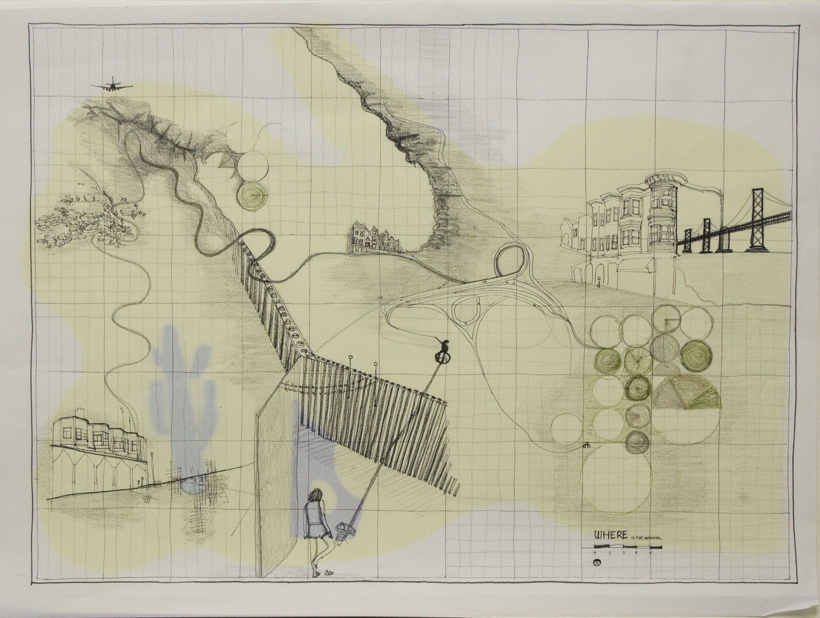
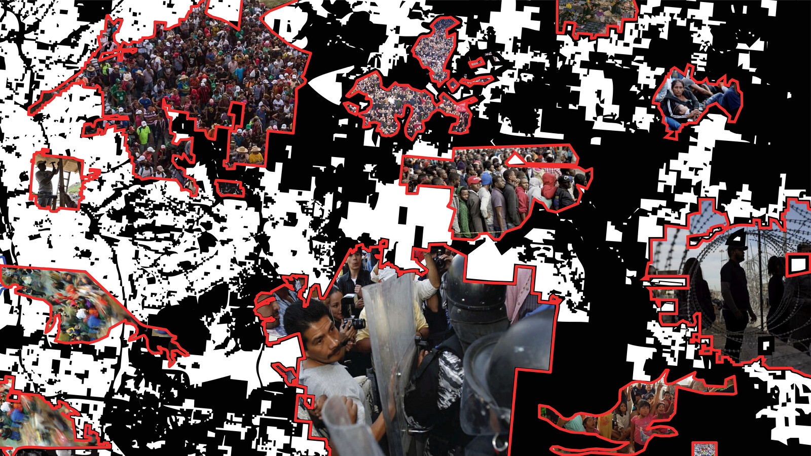
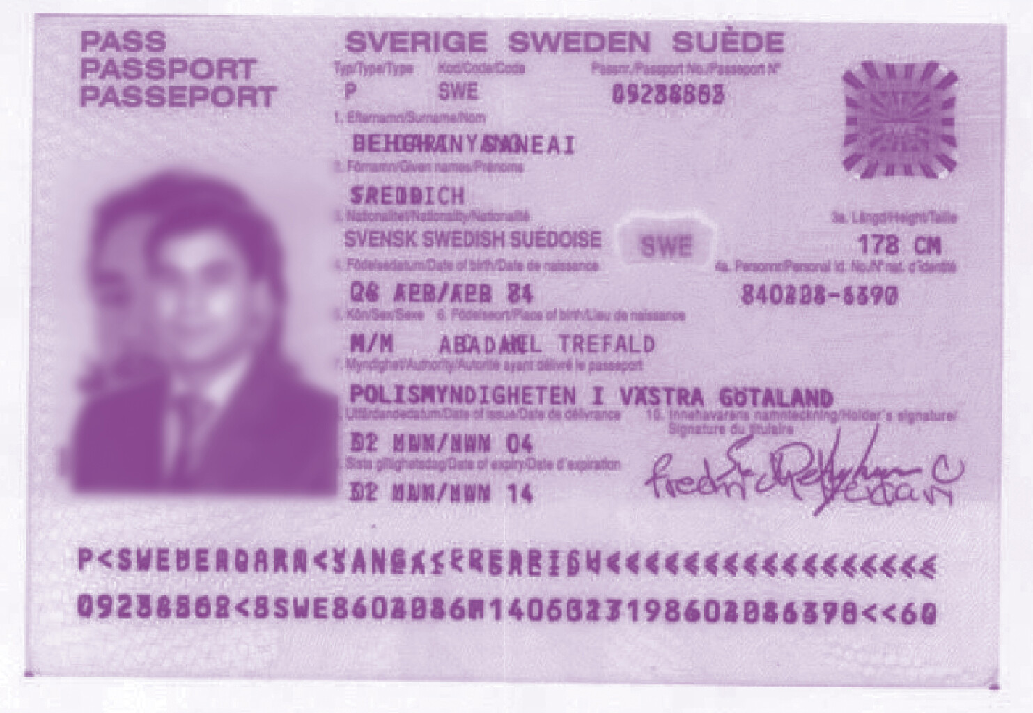
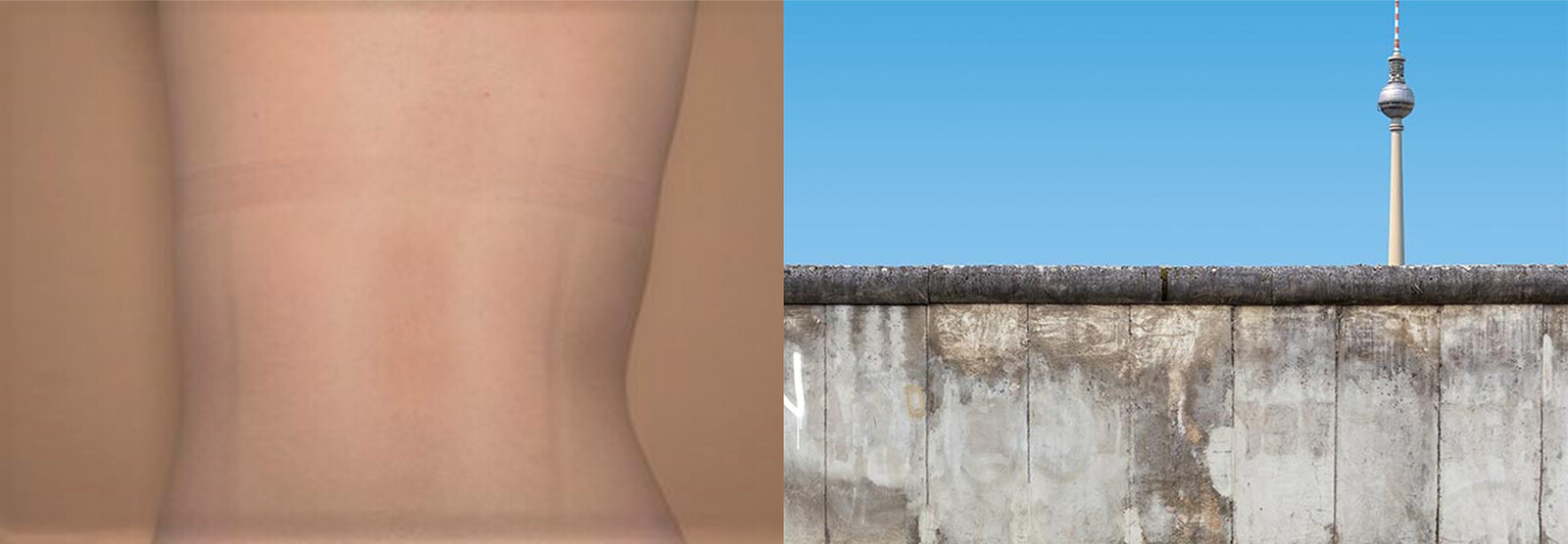
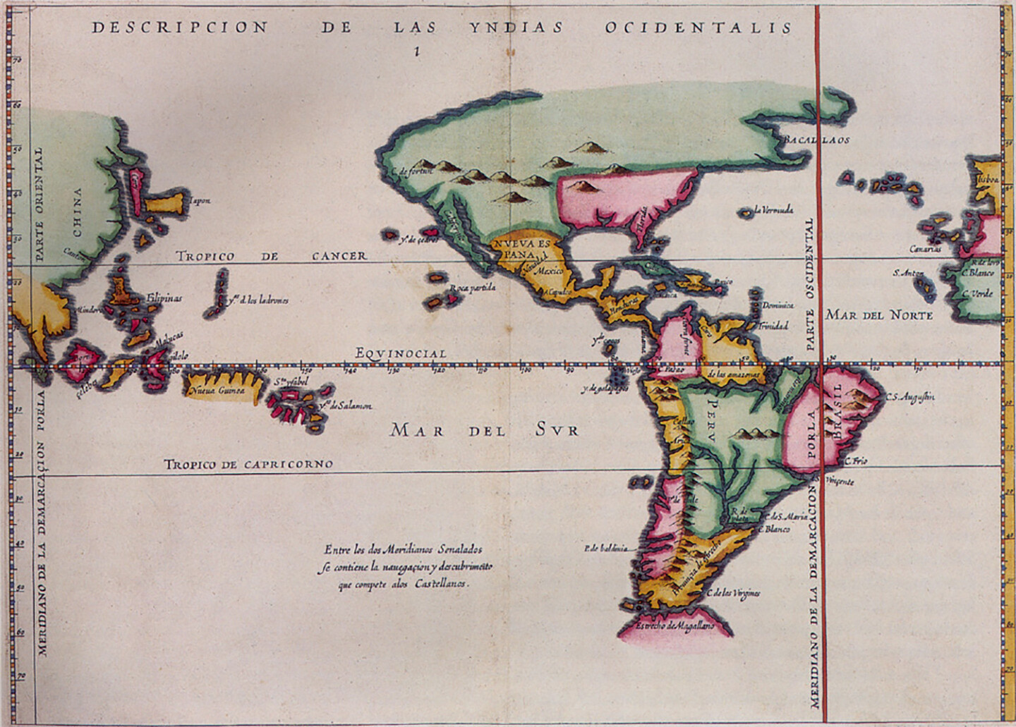
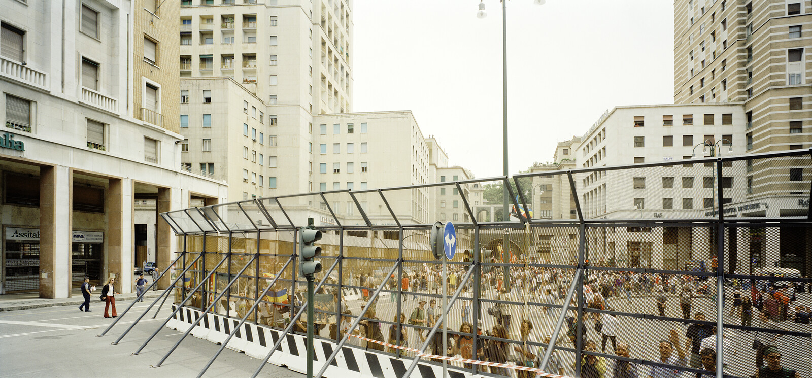
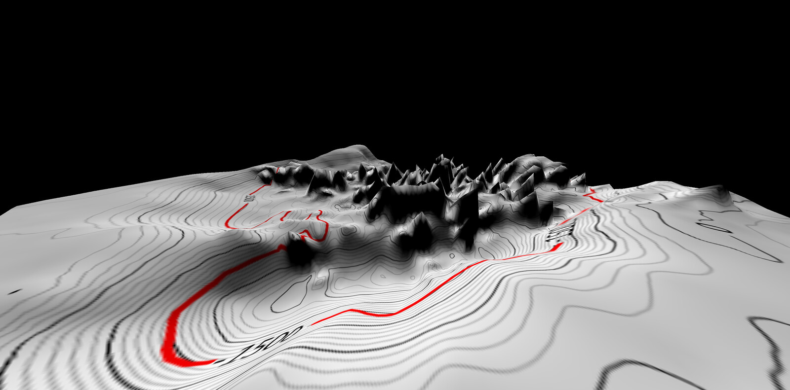
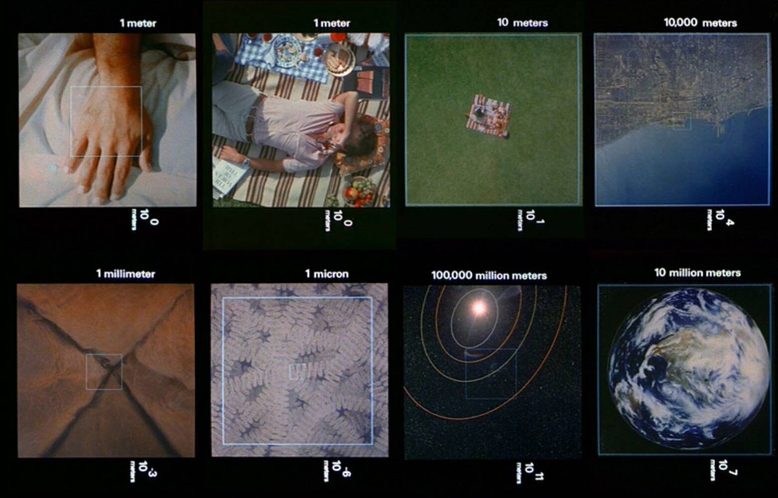
Unlike tracings which propagate redundancies, mappings discover new worlds within past and present ones; they inaugurate new grounds upon the hidden traces of a living context. The capacity to reformulate what already exists is the important step. And what already exists is more than just the physical attributes of terrain (topography, rivers, roads, buildings) but includes also the various hidden forces that underlie the workings of a given place.
—James Corner, “The Agency of Mapping”
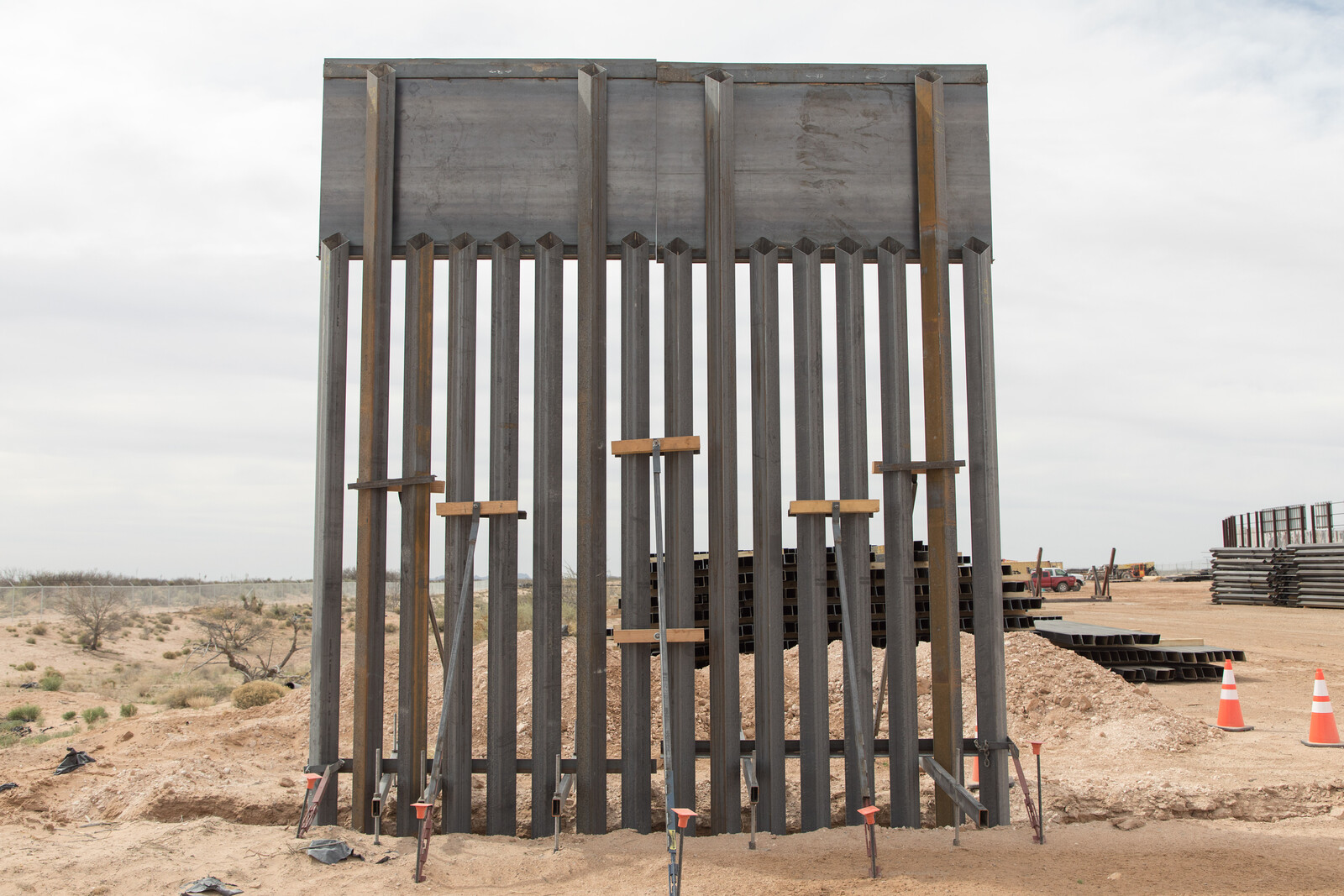
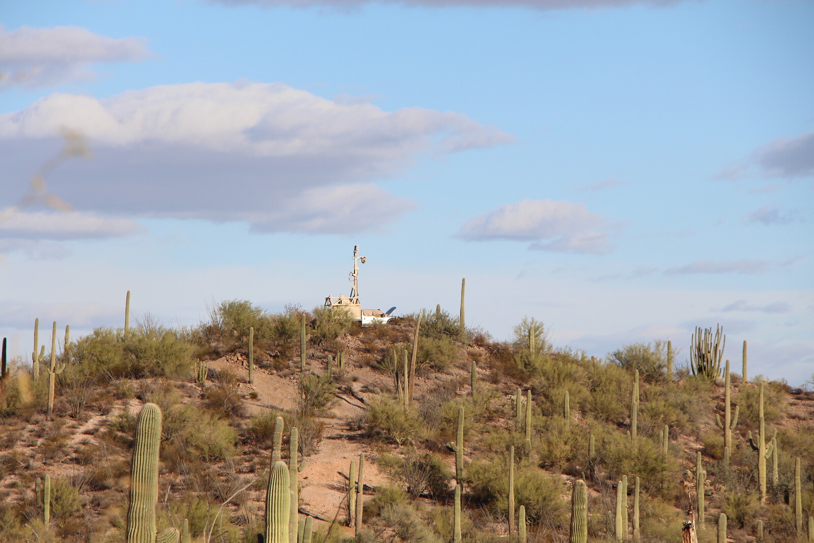
The border as a line that separates nations from each other is a signifier. It is an imaginary vector in space, materialized by pen on paper. Thinking about the word “border” produces a collective eidetic memory, removed from the scale of the body; an aerial view of landscapes divided by a thick black line. The border line is what separates two places, demonstrating a difference. It is a mechanism of othering that creates a reality of here and there; of us and them. If seen as a symbol of separation, the border starts to become diffuse, lifted from its geospatial location on a map to become enacted within the experiences and memories of people throughout entire regions. The Mexico-US border divides a region that has long been interconnected through economic, political, and social ties. While we acknowledge that there is a reality in which the border separates California from Baja California, Arizona from Sonora, Texas from Chihuahua, and so on, there exists another reality in which the experiential weight of the border is perpetuated in the mentality of people living in places such as Ulysses, Kansas or Pachuca, Hidalgo. The border is not just a line. It is a psycho-spatial experience carried within people.
Seeing borders
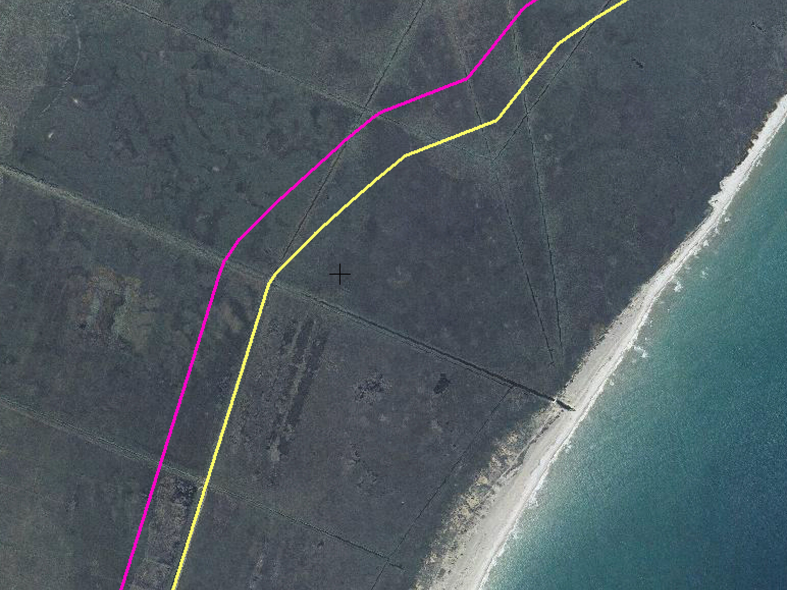
Contemporary conceptions of borders are rooted in cartography. Early maps were developed for navigation and to delineate political territories. In North America, survey maps were critical in the colonial endeavors of the French, British, and Spanish empires. These survey maps served to authorize the carving up and dividing of a territory that had previously been made up of much more diffuse edges between native inhabitants. After the 1848 Treaty of Guadalupe, for instance, a binational joint survey commission took six years to draw the first detailed border between Mexico and the US. Over the next few decades, the border line solidified through disputes as rivers moved and cities on the border grew. These political maps became the root for a collective image of Mexico-US relations, always refocusing attention to the band between the countries. In the meantime, trade agreements and migration were connecting places far beyond the border region.
For some immigrants, the border is always close by, as they imagine their adopted land as a neighbor of their homeland. For others, the border is distant as the journey to cross it is filled with danger and their families are unreachable. For many people, the border seems far away, as their own personal experiences don’t engage with transnational issues in a conscious way. The imagination of borders is relative. The stories we tell of borders not only connect faraway places, typically considered as separate. They show how important transborder connections are to sustain each other. Without one side, the other would become pockmarked with voids; a place with character unable to be real.
Drawing borders
By visualizing the importance of transborder networks in building the lived reality, we can alter the eidetic memory of borders. Cartography is a tool to redraw how we envision the territory. Maps are a form of representation, and while we consider them scientific and infallible, the way we draw and retrace them involves subjective representational decisions. The colors that underlay each territory, the thicknesses of lines, and the amount of information included all involve careful decision.
While early maps for western navigation became the scientific basis for the discipline of cartography, there is an alternate history of maps that engraves experience, atmosphere, and perception rather than an implied objective reality. The maps of Alexander von Humboldt, for instance, brought diverse ecologies to the fore and created mystical atmospheres by emphasizing texture and using hatches and shading. His early nineteenth century maps of Mexican ecology, while rooted in scientific expression, capture a tone of foreign exoticism, forever tying volcanic landscapes with mythological imagery. By decentralizing urban design and prioritizing the body and its physical trajectory, Guy Debord’s Naked City (1957) was an act of agitation. And by placing the southern pole of South America at the top of the page, Joaquin Torres-Garcia’s Inverted Map of South America (1943) politicized the image of the world.
Interpretive cartography represents the relationships between places and space as more than measured distance, conveying instead information that is emotive, tied to lived realities, and rooted in memory and experience. Reimagining how we draw borders allows us to redraw realities through cartographic tools.
Drawing new maps also affords the potential to expand their audience. While their presence in avant-garde movements and contemporary urban planning has been well established, new forms of mapping can influence how we approach architecture. While GIS or Nolli-plan-based site analysis has become a norm in using “context” to legitimize architectural strategies, maps can also be used to elaborate a social, cultural, and experiential context, and can expand how we envision a place in the present and for the future. Maps of people and the narratives their bodies carry through space have the potential to open communication and share alternative visions of a place.
Map 23
Text by Sara Lynn Lopez
Antonio Rodriguez’s architectural projects underscore the importance of both “following” analytic threads and bringing people’s narratives into an architectural history from below, one that accounts for how migrants, workers, and individuals who commission ordinary projects shape places. As a newcomer to the US from Mexico in the 1970s, Rodriguez initially worked as a manual laborer. After decades of perseverance, he opened a paper manufacturing company. Incrementally, Rodriguez invested a portion of his earnings in the US in construction projects in his hometown in Mexico. His most notable project is a prominent white-stucco house with a domed cupola on the roof and an inscription in the entryway lintel that reads in English: “Dedicated to my Parents.” Situated across the street from his mother’s house (and his childhood home), his mother is reminded, every morning, of both her son’s absence (he lives in Los Angeles, California) and his continued devotion. At the midpoint between this newly crafted façade and his childhood home, absence, distance, and longing is bound up with his continued connection to his town, his street, and his mother through the house’s ongoing maintenance and care.
The flow of dollars financing new projects in Mexico is crossed by another flow—of stones—migrating from Mexico to the US. In Mexico, Rodriguez used Cantera stone—a key building material in colonial churches and civic monuments throughout the state of Jalisco—to accent the facades and create rich courtyard spaces in his new homes. Realizing that there was a growing Mexican migrant clientele throughout Los Angeles that wanted to build “authentic” Mexican-style homes, and embedded in the local construction industry in Jalisco, Rodriguez launched a small stone distribution business in the early 2000s. A network of quarry workers, stonemasons, carvers, and truckdrivers would eventually allow him to offer compatriots “Jalisco Cantera” to give standard suburban houses a distinctly “hacienda-style” feel. One client from Mexico who owns a Mexican restaurant in LA remodeled both his home and business with Cantera: colonial-style columns and a fountain distinguish his house while Cantera tiles clad the exterior of an otherwise cheaply constructed fast-food corner building.
Map 114
Text by Nile Greenberg
In 2018, I was teaching an architecture studio with Tatiana Bilbao at Columbia University’s Graduate School of Architecture, Planning and Preservation studying the topic of “remittance architecture”: a phenomenon where Mexicans who are living and working in the US build themselves houses in the style of “The American Dream” in their hometowns in Mexico. One student of ours, Mouna Lawrence, discovered an extremely particular example, which led her and myself to travel to Merida, the capital of Yucantán, and to a medium-sized, Mayan-majority town nearby called Oxkutzcab. There, we visited Hotel Clasico, a hotel with five bright yellow bay windows above a portico and a fresco mural of the Golden Gate Bridge.
The cultural pattern underlying remittance architecture is the tendency for the people of Mexican cities and towns to migrate to the same place in the United States, generation after generation. Through the cyclical nature of this relationship, cultural exchange occurs (though often one-sided). The towns of origin in Mexico adopt highly specific cultural characteristics from the destination city in the US. Oxkutzcab is a town that sends many of its young members to San Francisco to work in industries like food, farming, and construction.
As we explored the town, this cultural exchange revealed the unusual presence of some specific amenities not seen in nearby areas, including an abundance of sushi, sake, Sapporo beer, and karaoke parlors. New houses tended to emulate the iconic San Francisco housing typology of the wood row-house with bay windows, but in Oxkutzcab, they are entirely built in concrete, brick, and paint.
After a day of exploring, we returned to Hotel Clasico. There we met the owner who showed us the entire hotel, which he had built after being expelled from San Francisco. He was still in love with his former city, and the small hotel, with six or so rooms, became a memorial for that unrequited love. Each room was dedicated to a different San Francisco icon: the Bay Bridge, The Cable Car, St. Francis, Fisherman’s Wharf. Upon pressing the owner about his love for San Francisco, he told us that it was too difficult to share more; he missed the city every day.
We had originally misunderstood the phenomenon of remittance architecture as cultural exchange: as taking the good parts back to their town and improving it. What we found in Hotel Clasico and its owner was not a building that existed as part of an even exchange, but one that was built as a memorial for the life that was taken away from him. Hotel Clasico is not a memento from a trip; it is a tombstone in concrete, brick and paint.
Map 97
Text by Carlos Hagerman
“No soy de aquí, ni soy de allá”
I’m from here, where I was born. My parents are from there, where they were born: the legendary country where they speak another language, the one that my Mom and Dad speak; the country of my heritage, but not of my reality.
I was born in Florida. I’m eleven years old. When I turn fourteen I will be allowed to fly alone and for the first time will meet my grandparents and cousins that I’ve only seen as we video chat in my Dad’s phone.
Children from undocumented parents, like me, grow worried that one day ICE will come to take their family away. This new version of the boogie man comes without notice in the middle of the night, pushing into our homes and destroying our American Dream.
This fear is not only present when we are asleep. It is also active during the day, lurking in our heart; always looking behind our shoulders, never at ease. On top of this anxiety, there is the heavy burden of responsibility that we have to be successful, in order to make all the grief that my family has gone through worthwhile. The only way out lies in our ability to demonstrate that it is possible.
So much has been put into our hands. The suffering of the crossing, the hardship of low-paid hard work, all put together in one single opportunity; if I could only make everything right and save us all.
My parents can romanticize the old world because it’s too far away to remember it clearly. But they cannot travel back to have another look. It is only me that can achieve what they have always said to be impossible in the other side of the border.
Our family is not from here, but it is not from there. Who can live in two places at the same time?
Map 54
Text by Ana Paula Ruiz Galindo
For a border to exist, it requires an other. The other that separates the in from the out, the native from the foreign, the old from the new. To understand this phenomenon, we went with students from The Irwin S. Chanin School of Architecture of The Cooper Union to a tiny town in southwest Kansas, called Ulysses. Here, cross‐border migration fills in for a local population leaving for opportunities in cities. The border in this condition lies at the core of intersectionality as a vulnerable landscape exploited for economic use and thus creates work, making them hubs for immigrants looking for better opportunities.
The first to occupy the land of Ulysses was the Comanche tribe, which traveled along herds of bison throughout the Great Plains that stretched from Canada to the north of Chihuahua. Colonial newcomers settled on this transient land and almost annihilated both a community and its habitats. They created the first border: a threshold which differentiated them from those before. Ploughing through the prairie grass, they caused the Dust Bowl: massive devastating dust storms that lasted over a decade. Those who rode out the storm emerged with an entitlement to exploit the land backed up by divine right.1 Free-roaming bison were replaced by thousands of cows crouched together in feedlots, devouring tons of grains that are stashed in grain elevators and connected to the world by train tracks via the Chicago Board of Trade. This expansion of what once was an isolated territory increased demand for meat, meat “to feed the world.”2
After five generations of white farmers, and an exponential growth in cow population and farming infrastructure, Ulysses experienced a major demographic shift. Within one generation, the town population of six thousand people transitioned from majority white to over half Latino, mostly from the state of Chihuahua. If the first settlers tilled land and built grain elevators, irrigation systems, etc., we wondered how these new actors might demonstrate their arrival? If architecture tells the story of people that inhabit it, would that architecture travel with them? At first glance, the answer is no. The exterior of Ulysses is as American as it gets. Yet looking closer, hidden inside is a town full of Mexican restaurants and stores stocked with Mexican produce. Tucked away from the migra eye, blooms the identity of the newcomers. But as architecture accommodates power and due to prevailing power structures, the Latino presence does not have an exposed cultural representation.
While the Latinos of Ulysses do not have the town’s architectural objects to represent them, they did bring their culture. Upon entering a restaurant, it is not uncommon to find mariachi dresses pinned on the wall and be served guacamole and tamales. If you walk to the ice cream shop, you can have a long conversation with the owner from Chihuahua about his revolutionary hero, Pancho Villa. One scoop of ice cream later he will tell you all about how the Mexicans are taking back what once belonged to them. As people move north, money flows south, which creates an exchange that transforms existing borders. In Ulysses High School, the new normal is most students speaking Spanish. But whose territory is it? Why are there limits to a territory?
The other is continuously fluctuating. There will always be that other which carries with it an identity, a culture, a belief, a border. No matter how hard a government wants to uphold the border’s limits, there is always a way to transgress them. But for now, in Ulysses, the identity of the newly arrived, the other, is concealed in the interior.
Conclusion
Maps become dominant images in collective imaginaries, especially in creating national identities. By creating new maps through collages, we can create new images to represent collective realities. This new cartography aims to create images that more accurately depict the psycho-spatial border that blankets the Mexico-US region. People’s experiences distort physical space. Remittances can collapse the space between two cities, using the strings of wire transfers and communications networks to draw two places closer together. Immigration can make a place in which you physically live actually seem like a foreign country, while your own family experiences the same place with the liberty to cross between the two. The migration of bodies, money, and dreams are expanded derives; crossing longer distances, transgressing generations, but just as deserving of mapping. Narratives in combination with tools of mapping reconstruct the malleable reality of the US and Mexico. It also liberates people to draw their own conclusions about the relationship between two places. Rather than borders being othering devices, they can outline two places that work together to enhance each other. Disengaging the border and showing how it blankets the region has the potential to rewrite how two nations can interact with each other.
Backed up by the belief in “Manifest Destiny”
As mentioned by a feedlot operator from Ullysses
At The Border is a collaboration between A/D/O and e-flux Architecture within the context of its 2019/2020 Research Program.
